CAD-ready contour lines
Drop straight into AutoCAD or Civil3D. Contours, boundary, and labels are sorted onto their own layers, plus a title block. Pull it in and check it yourself before you pay for anything.
No signup, no watermark hunt. Just download the files. Every one below came out of our actual pipeline for a real ~41-acre site in Denton County, TX, at a 2-ft contour interval. It's the same generator and the same data paying customers get.
Drop straight into AutoCAD or Civil3D. Contours, boundary, and labels are sorted onto their own layers, plus a title block. Pull it in and check it yourself before you pay for anything.
Open the file and see the real contours draped over the real site: a fast gut-check, or an easy way to share with someone who doesn't use CAD.
Standard GeoJSON contour lines with elevation values on every feature: paste it into Mapbox, Leaflet, QGIS, or your own script.
The .shp/.shx/.dbf/.prj bundle GIS software has used for decades. Works with ArcGIS, QGIS, or anything else that reads shapefiles.
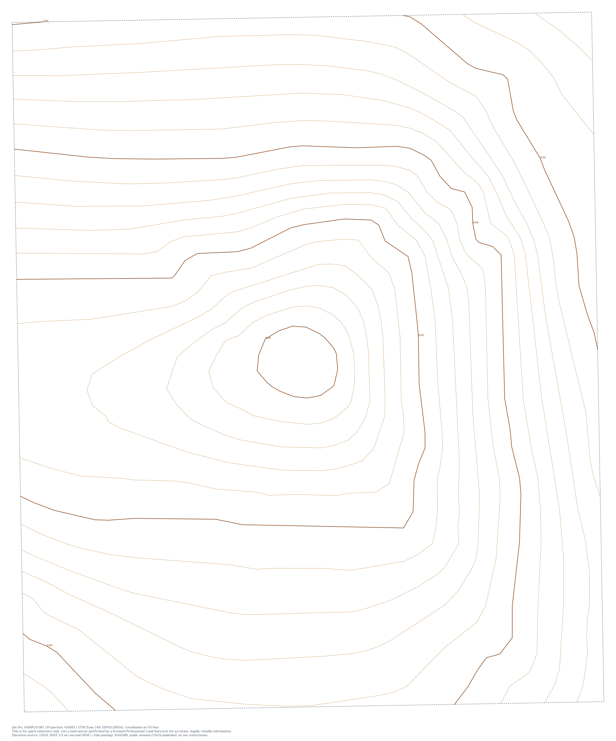
A clean vector drawing of the site's contour lines. Open it right in your browser, or drop it into a slide deck.
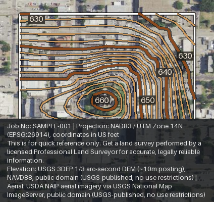
The real aerial photo of the site with the contour lines drawn right on top, at full resolution. No CAD software needed, just open it.
Aerial photo, soils, flood zone, tree canopy, slope: everything, in one self-contained page. No login, nothing to install.
That's a real site. Yours is next. Draw a boundary and see.